The DJI Phantom 4SE RTK is designed to revolutionize aerial surveying and mapping. With its advanced RTK positioning system, this UAV offers industry-leading centimeter-level accuracy. Whether you’re a surveyor, engineer, or GIS professional, the Phantom 4SE RTK delivers the precision you need to streamline your workflow, minimize errors, and maximize efficiency. It’s not just a drone—it’s your complete mapping solution.
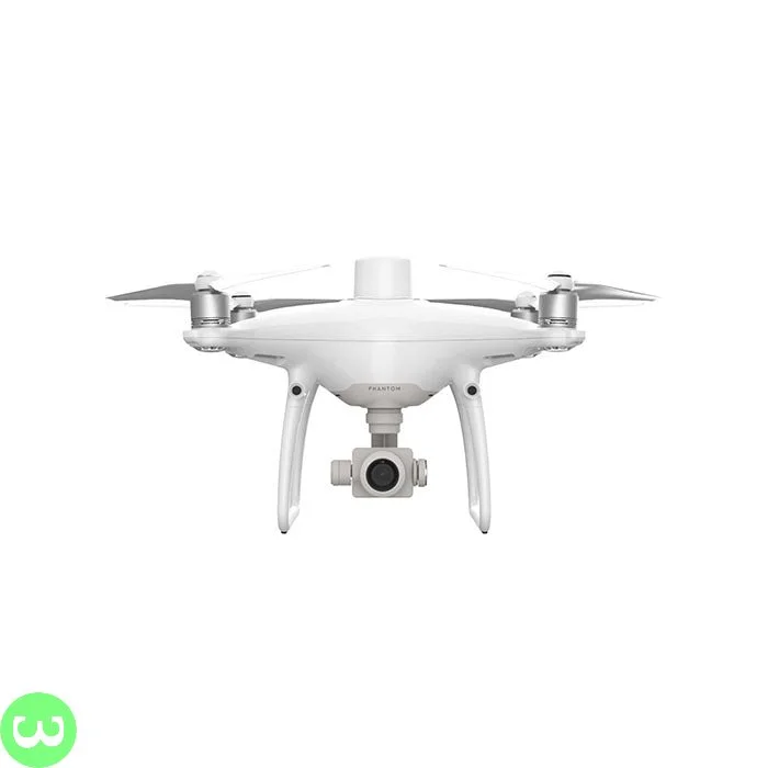
DJI Phantom 4SE RTK
₨100,000.00
Reviews
There are no reviews yet.